Red Rock, Late Snow
A spring loop through canyon country, from snow on the rim at Bryce to Monument Valley at dawn and the slot canyons of Page.
We flew into Las Vegas in the middle of April, picked up a hire car the colour of a fridge, and left the city as fast as the traffic allowed. Tom had the route written on an index card: Zion, Bryce, Moab, Monument Valley, Page, and back. It fitted on the card with room to spare. The distances fitted nothing.
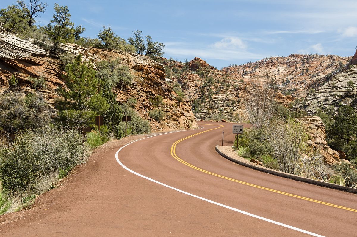
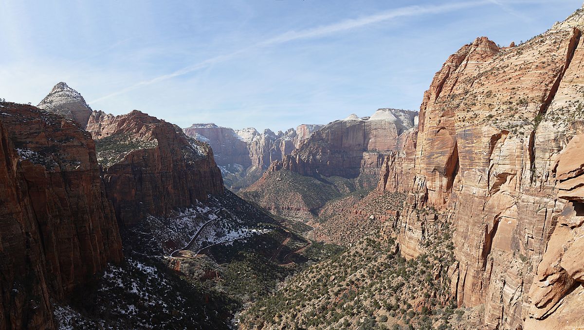
Zion came first. The main canyon is shuttle-only in spring, so on our first morning we went the other way, east through the Zion–Mount Carmel tunnel to where State Route 9 coils up through slickrock streaked like the endpapers of an old book. The Canyon Overlook Trail is short and slightly vertiginous, with a handrail roughly where you most want one, and it ends on a ledge above Pine Creek with the whole canyon falling away to the west. Old snow was still lying in the shade.
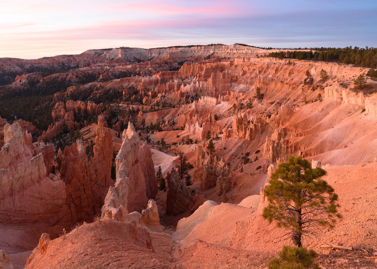
Bryce is a couple of hours on and a great deal higher, which we felt the moment we opened the car doors. We set an alarm for Sunrise Point, a name that rather raises expectations, and stood at the railing with a few dozen other people in woolly hats while the light came down over the hoodoos like a slow tide. Nobody said much. A flask of coffee went round. I am still not sure whose it was.
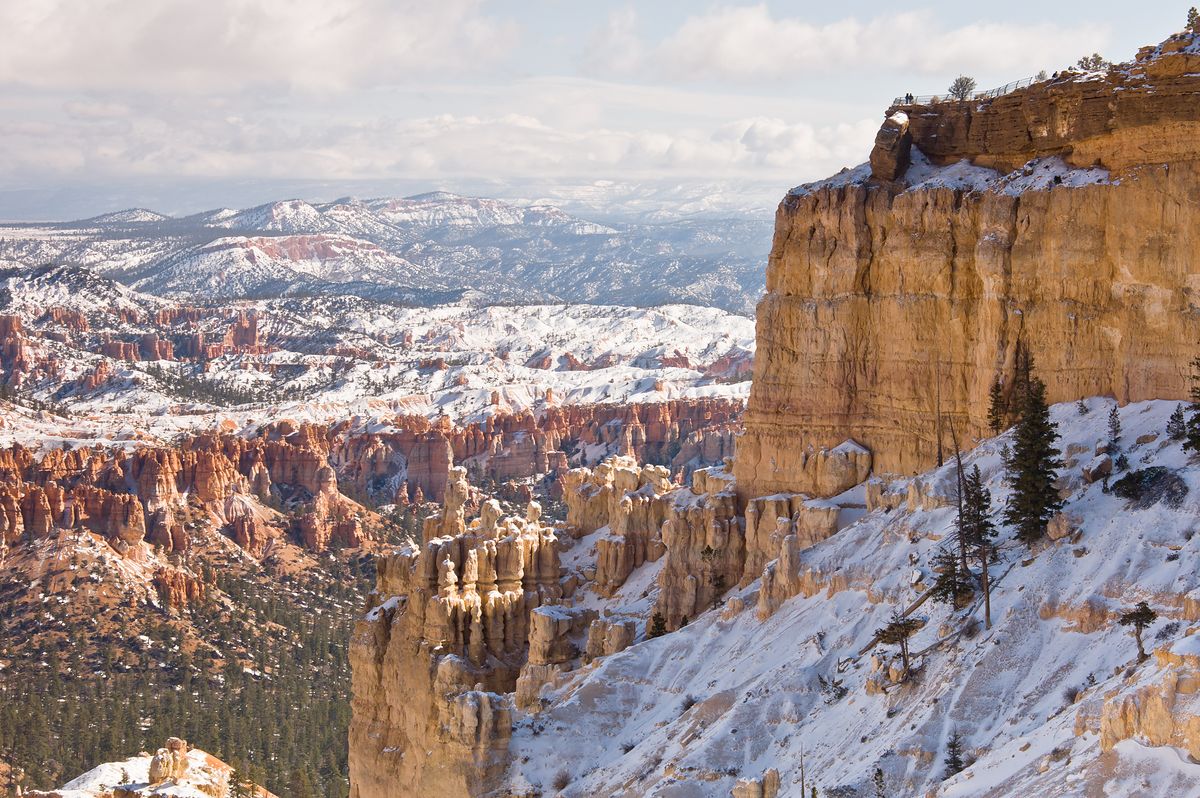
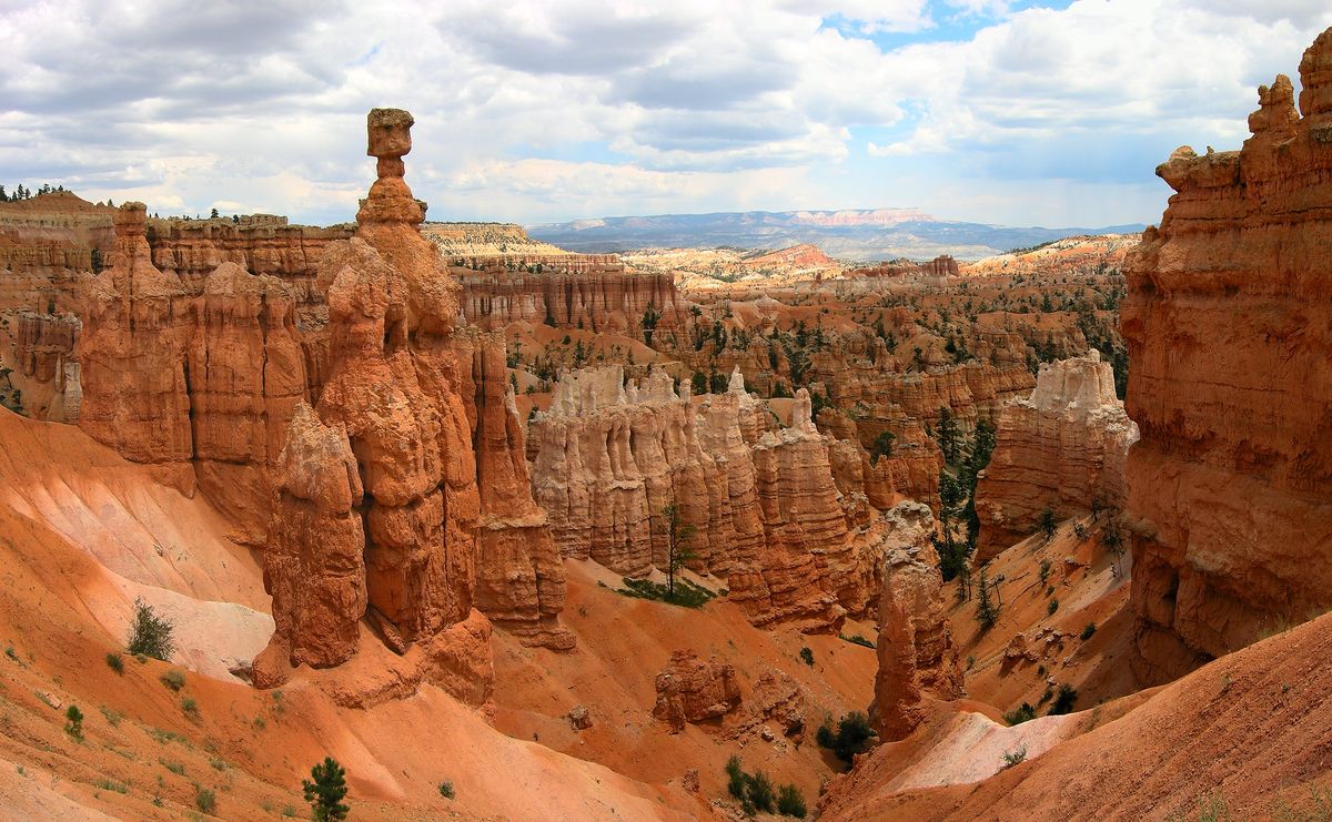
In the afternoon we walked the rim towards Bryce Point. Snow squeaked under our boots on the shaded stretches while the rock below glowed orange in full sun, so that it felt like walking through two seasons at once. Tom developed a strong attachment to Thor’s Hammer, a single capped spire that looks as if it is waiting for someone to knock it over, and talked about erosion until dinner.
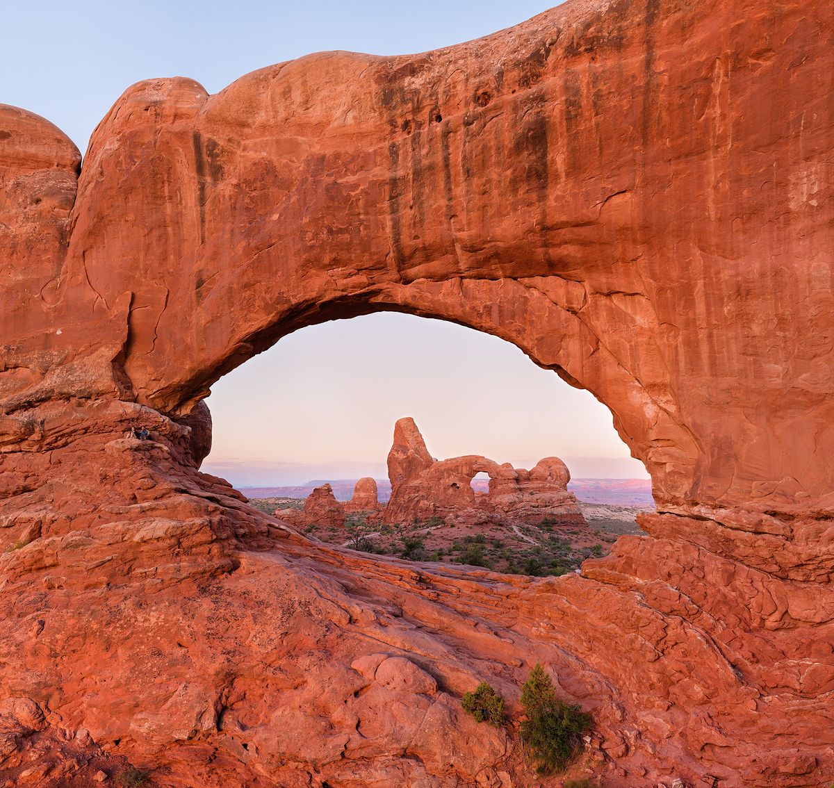
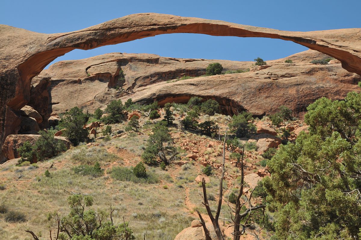
The road from Bryce to Moab, by way of Escalante, Boulder Mountain and Capitol Reef, took all day and deserved two. I drove; Tom read place names off the map in a tone of growing disbelief. In Arches the next morning the wind was strong enough to lean on. We walked out to the Windows, where Turret Arch sits framed inside North Window as though someone had arranged it, then took the sandy trail into Devils Garden to Landscape Arch, a ribbon of stone so thin it looks like a mistake nobody has noticed yet.
Navajo country
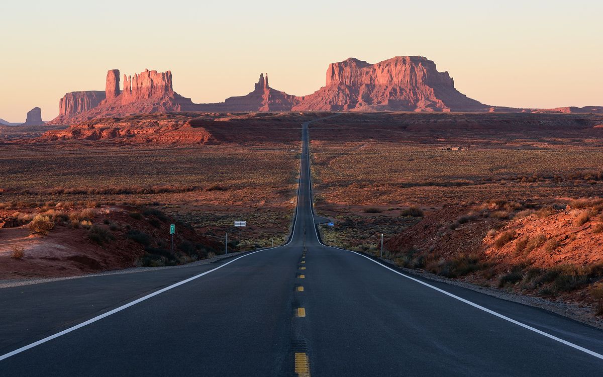
We slept in Bluff and left in the dark to reach Forrest Gump Point for first light. It is only a lay-by on US Route 163, famous for one scene in one film, but the road really does run dead straight at the buttes, and as the sky turned pink there were half a dozen of us standing in the middle of it, scuttling back to the verge whenever headlights appeared.
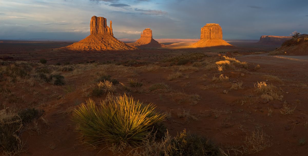
Monument Valley itself is a Navajo Tribal Park, and the valley drive is unpaved, rutted and slow. We bounced round it once, then sat on a rock near the visitor centre and watched the Mittens and Merrick Butte go copper, then red, then grey.
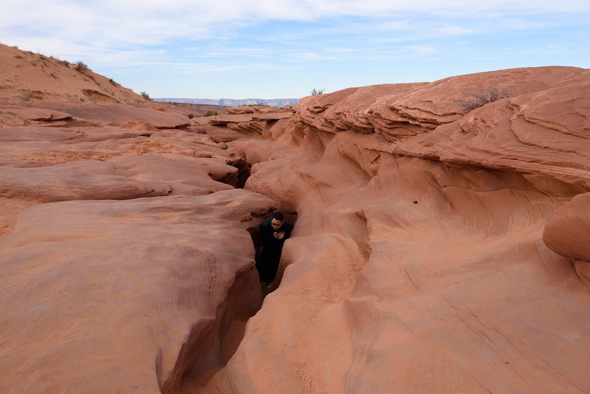
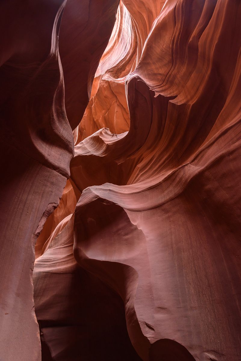
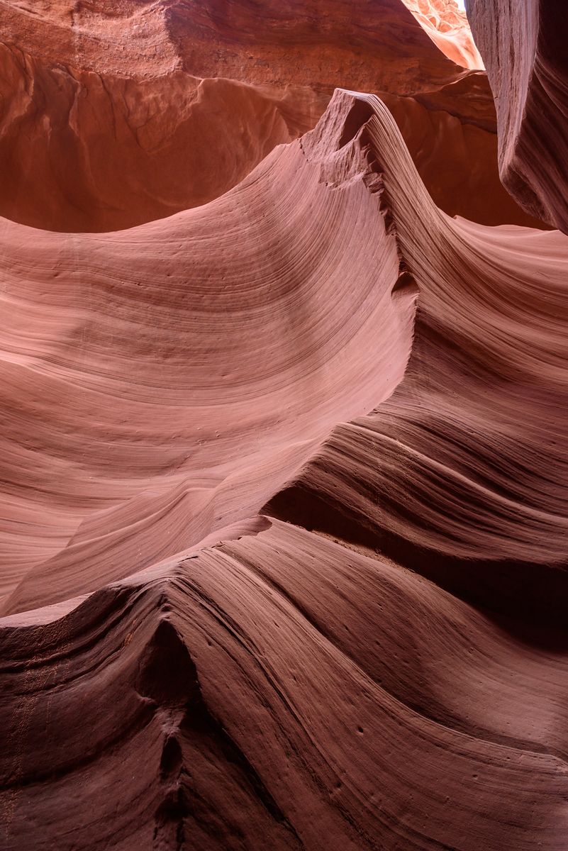
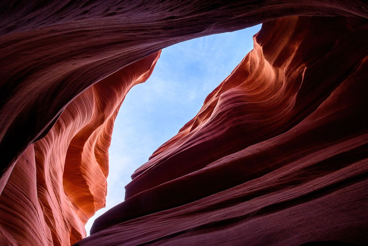
The last stop was Page, and Lower Antelope Canyon, which you can only enter with a Navajo guide. From above it is nothing much: a crack in a shelf of sandstone. Then you go down the steel stairs and the walls close over you, curved and layered and lit second-hand by sun bouncing in from somewhere far above. It was crowded, we were moved along briskly, and I would still go back tomorrow.
We drove back to Las Vegas with red sand in the footwells, in our shoes and, somehow, in the glovebox.