Following the Water on Madeira
Levada paths, high ridges and laurel forest in fog: a week of walking on Madeira, an island that makes its own weather.
Madeira is really one mountain rising out of the Atlantic, and it makes its own weather. The trade wind piles cloud against the north side, which is green and dripping; the south, around Funchal, sits in the rain shadow and gets the sun. For five centuries the islanders have been cutting channels into the hillsides to move water from one side to the other. These are the levadas, and the narrow maintenance paths beside them have become the best walking on the island. We spent a week last month following them, and the weather.
Ribeiro Frio
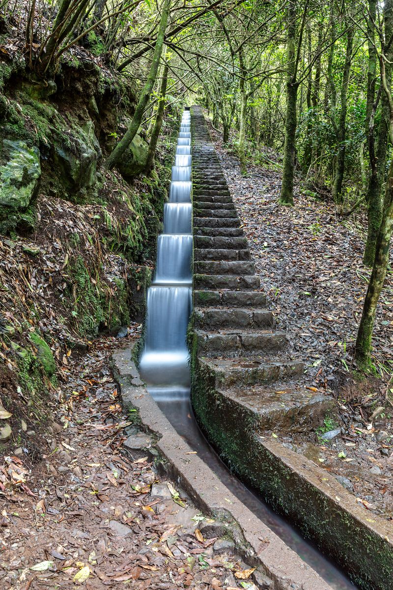
Our first walk started at Ribeiro Frio, a cool, mossy hollow in the forest on the way over the mountains from Funchal. Near the trout farm, a levada comes down a staircase of its own, each step a small waterfall, with a path of real steps beside it for people. From there the Levada dos Balcões runs almost level through the trees to a viewpoint, and it is about as gentle as Madeira walking gets.
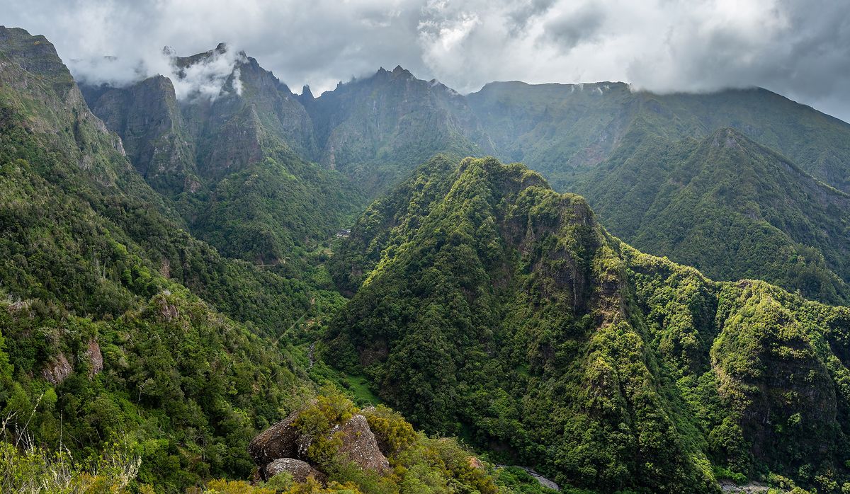
At the end the forest simply stops, and the whole Nogueira valley opens below you, ridge behind green ridge, with cloud tearing itself on the peaks at the top. A chaffinch landed on Tom’s boot and inspected it for crumbs. Tom had no crumbs, and the chaffinch let him know.
Above the cloud
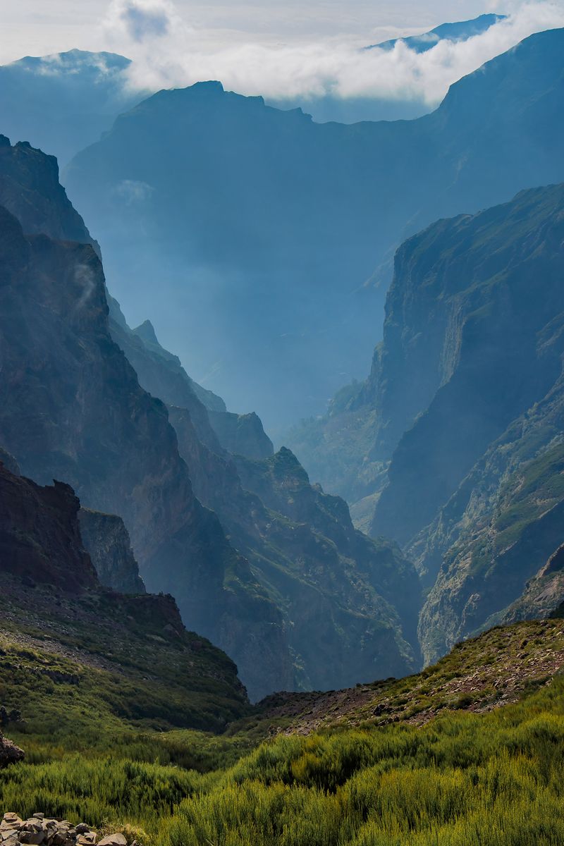
Two days later we drove up to Pico do Arieiro early. We left Funchal in sunshine, climbed into a grey ceiling somewhere in the eucalyptus woods, and came out above it near the top, where the island’s central ridges fall away into gorges so deep the bottoms were blue with haze. We followed the ridge path towards Pico Ruivo, on steps cut into the rock, for an hour, turned back when the wind got up, and found that I had left my fleece in the car. It was the coldest I have been in July.
Fanal
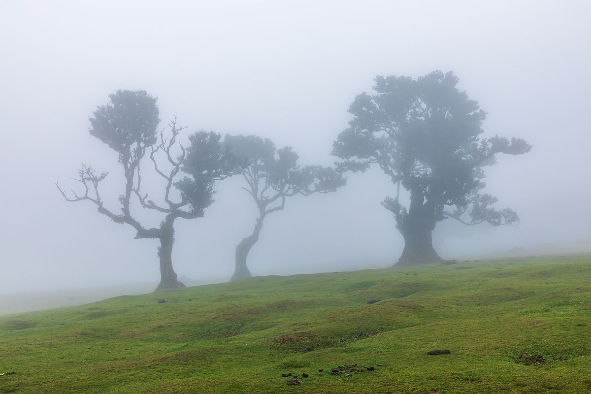
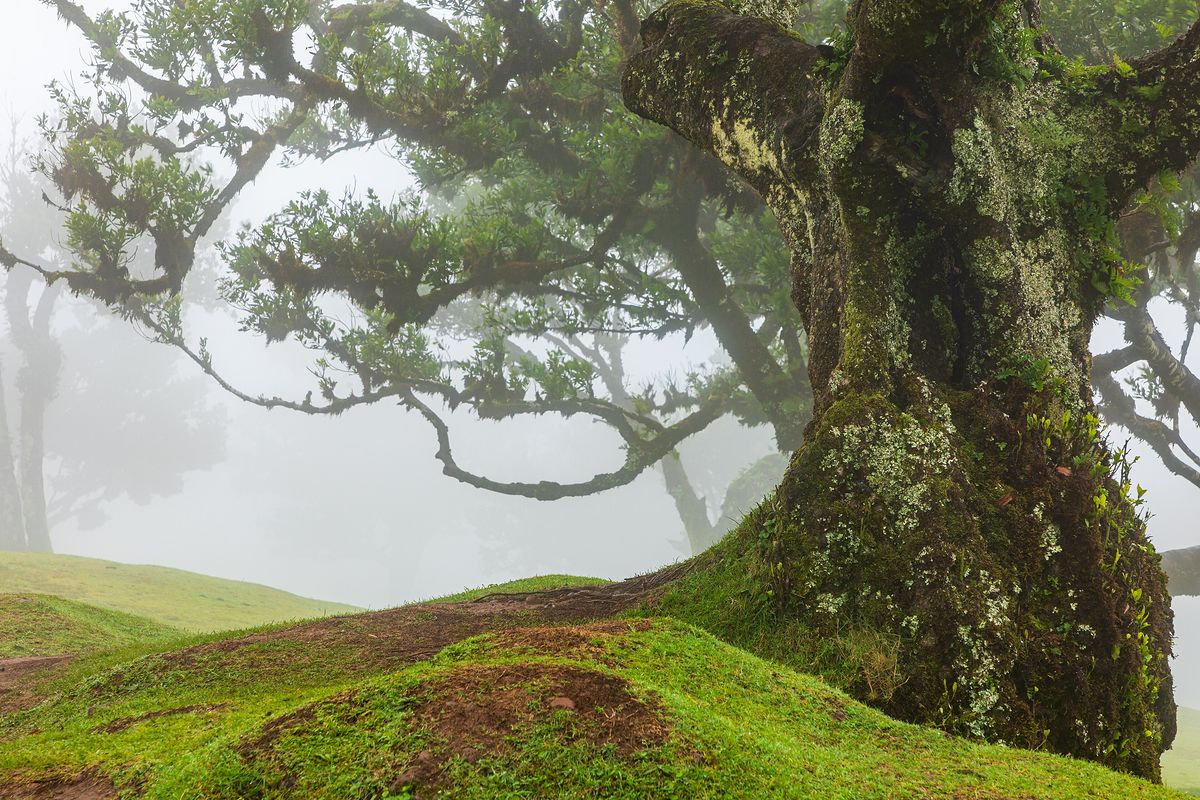
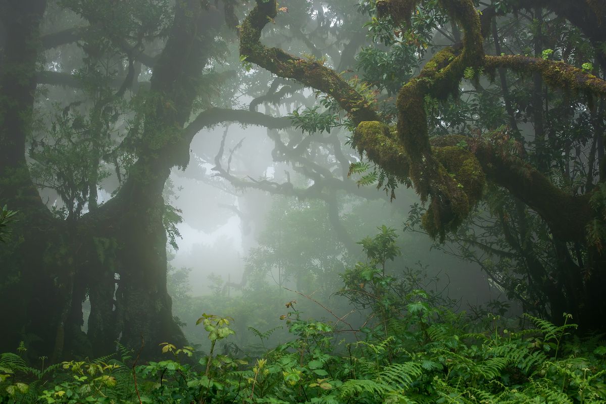
Fanal, a high plateau in the north-west, is where everyone told us to go for the laurel forest, and everyone told us it would be foggy. It was. The old til trees, a kind of laurel, stand apart on open grassland there, twisted and leaning, their trunks furred with moss, and in fog they come and go like figures in a dream. Cows grazed between them. We could see perhaps thirty metres, and we heard the cows long before we saw them.
The laurisilva is a relic. Forests like this once covered much of southern Europe, and now they survive on a few Atlantic islands. Further into the trees the light was green and dim, ferns grew up to our knees and every branch dripped.
East and north
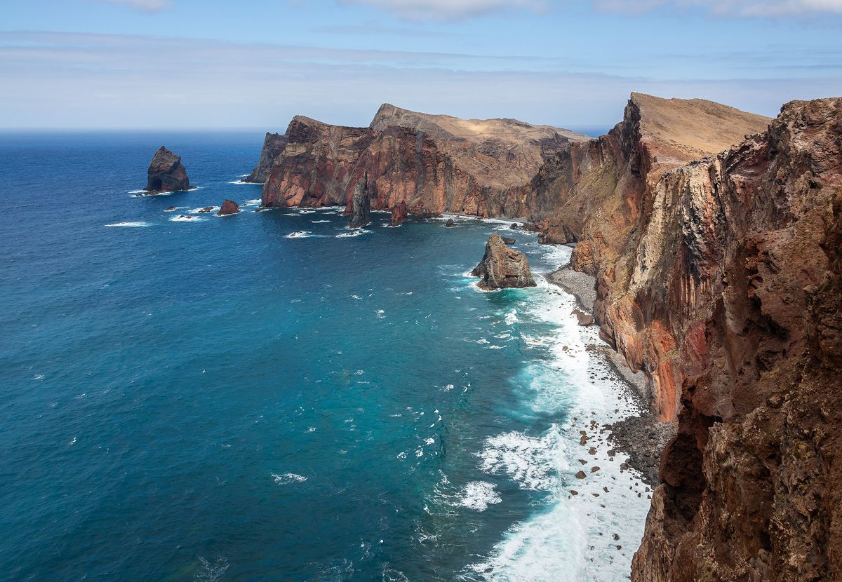
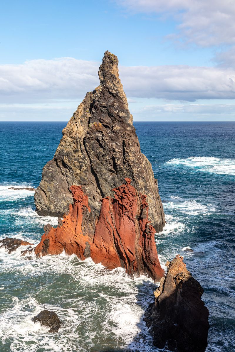
For contrast we walked out to Ponta de São Lourenço, the long dry spine at the island’s eastern end. There are no trees at all, just red and black rock, the wind and a great deal of sea, with sea stacks standing off the cliffs like broken teeth. Tom’s hat left without him at the second viewpoint and was not seen again.
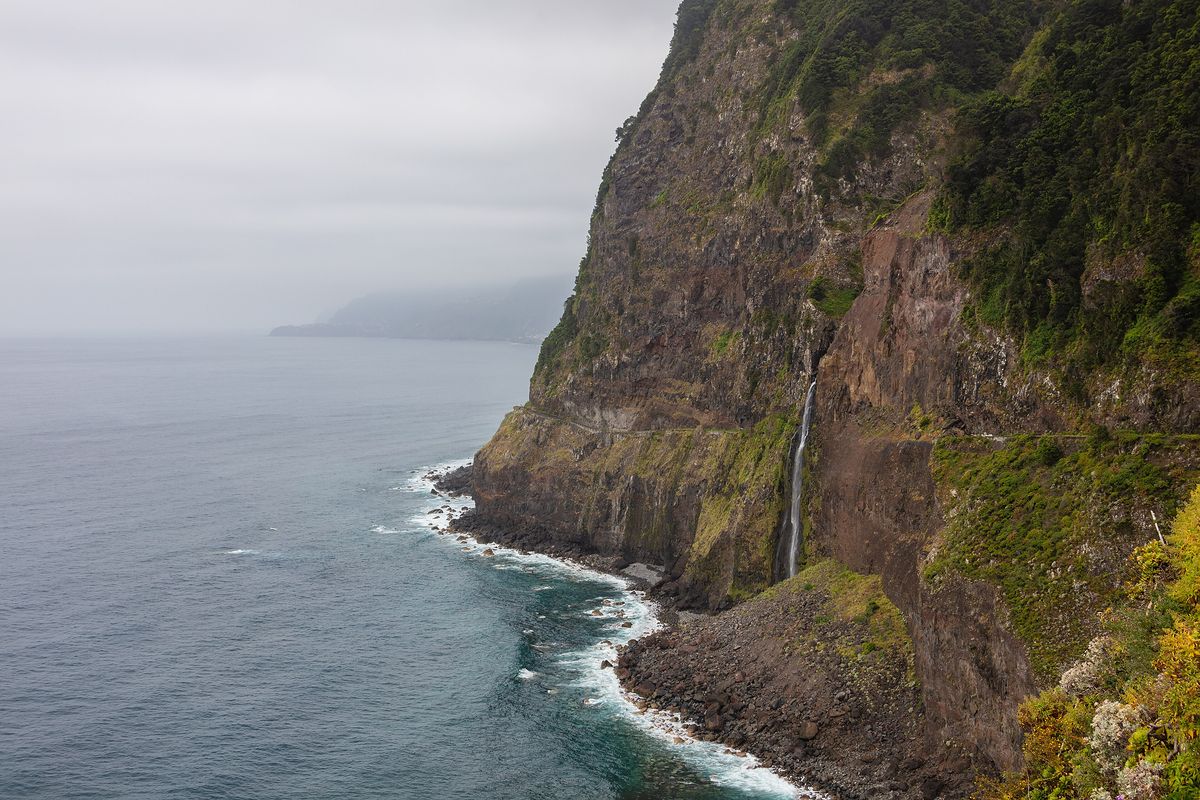
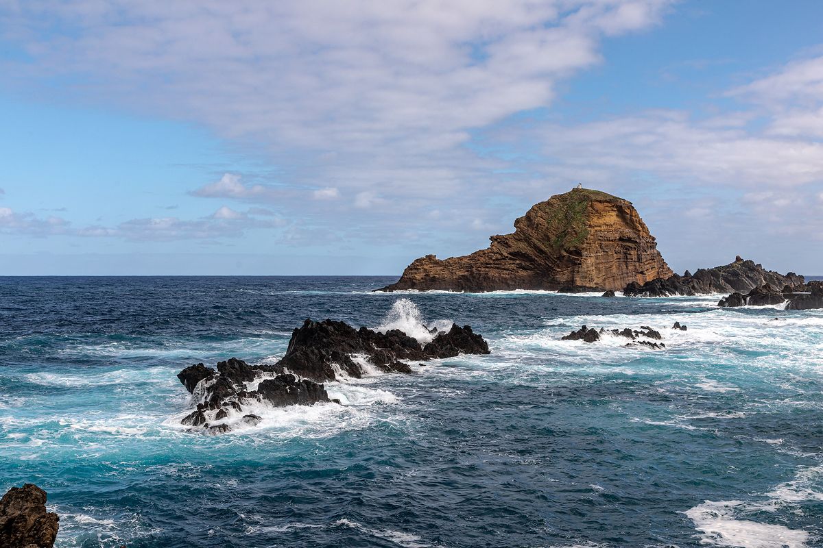
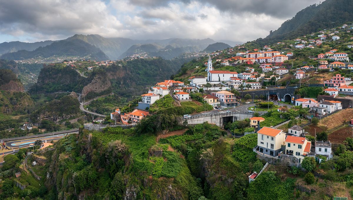
On our last day we drove the north coast, in and out of the cloud: past the waterfall that drops straight into the sea near Seixal, out to the lava rocks at Porto Moniz where the swell smashed against the islet offshore, and back by way of Faial, strung along its ridge under a grey sky again. By then I had stopped checking forecasts. If you don’t like the weather on Madeira, you drive round the corner.
Notes
- Levada paths can be narrow, with unfenced drops. Some pass through tunnels, so carry a torch.
- Pack layers even in summer. The summits can be cold and windy while Funchal is hot.
- Several of the busiest trails now charge visitors a small access fee. Check before you set off.
- Buses to the trailheads are infrequent. We hired a car.