The Faroes, North and South
Ten days in late August, from cloud-capped fjords in the north to a sunlit, sheep-covered Suðuroy, by ferry, tunnel and one very short flight.
Everyone we told about the trip had an opinion on the weather. Bring waterproofs, they said, then a second set of waterproofs, and expect to see nothing. Clara packed accordingly. For the first half of our ten days in late August the Faroes did their best to agree: a lid of grey cloud sat on the islands a few hundred metres up, the light was soft and even, and the wind came from every direction in turn.
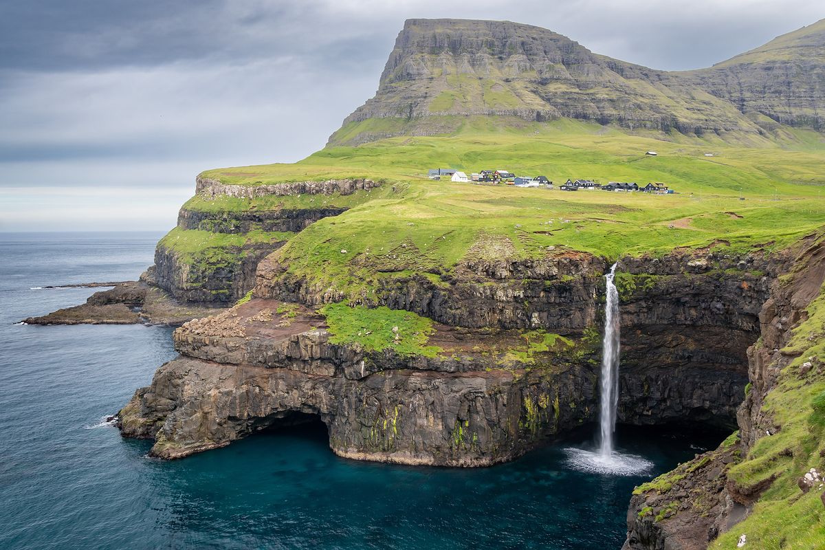
It mattered less than we expected. Our first walk, on the airport island of Vágar, ended at Gásadalur, where the stream of Múlafossur simply runs out of land and drops into the sea. For years the village had no road at all. Now there is a tunnel, a car park and a lot of people in bright jackets photographing the same waterfall. We waited for a gap in the crowd, and eventually the gap came.
Tunnels are how you get around here. They link most of the main islands, several of them under the sea, and the newest between Streymoy and Eysturoy has a roundabout at the bottom, lit up and ringed with sculpture. The first time we drove round it Clara laughed for a full minute.
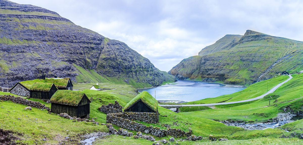
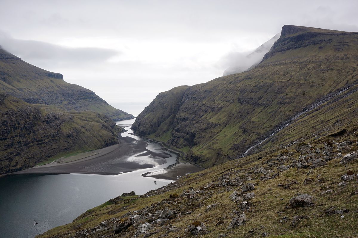
Saksun, at the end of a single-track road on Streymoy, is a handful of turf-roofed houses above a tidal lagoon. At low tide people walk the sand out towards the open sea, keeping an eye on the channels and the clock. We stood above it in fine drizzle while the cloud slid slowly down the valley sides, and nobody said anything for a while.
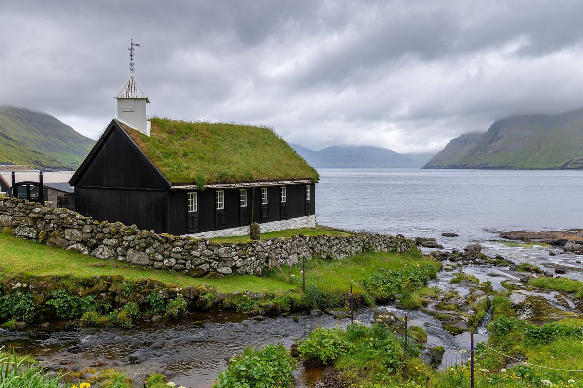
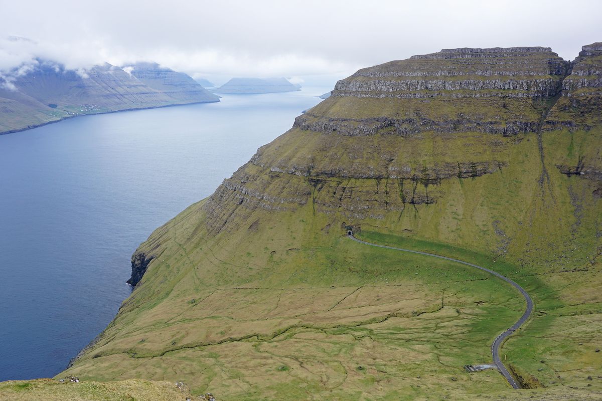
The church at Funningur, on Eysturoy, is black-tarred timber under a grass roof, with a stream running past its stone wall. Further north, the road to Kalsoy means a small car ferry from Klaksvík and then a string of narrow, dim tunnels, one after another, each with passing places and a brief moment of guessing who goes first.
South, into the sun
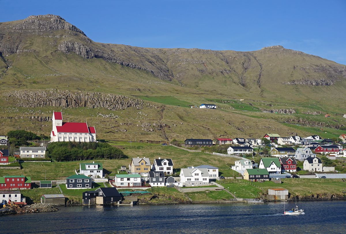
Then we took the ferry south. Smyril runs from Tórshavn to Suðuroy in about two hours, and somewhere in the middle of the crossing the cloud just stopped. We came up the fjord to Tvøroyri under a blue sky, the church roof bright red above the water, and Clara took off her second waterproof for the first time in five days.
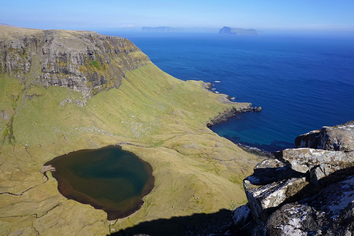
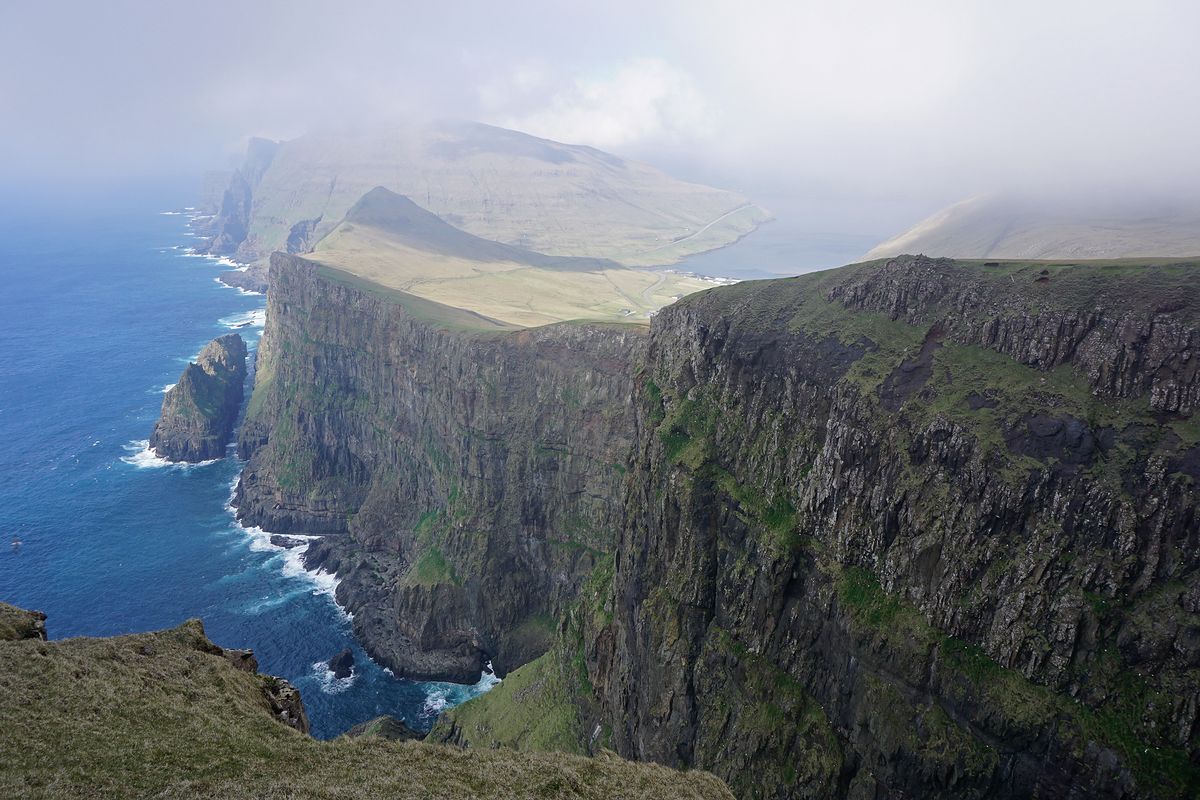
Suðuroy is quieter than the north and, if anything, steeper. From Tvøroyri we walked up to Hvannhagi, a green hollow with a dark tarn in it, open to the sea on one side. On the west coast the cliffs at Beinisvørð drop almost five hundred metres, and a thin sea mist came and went along the edge while we ate our lunch a sensible distance back.
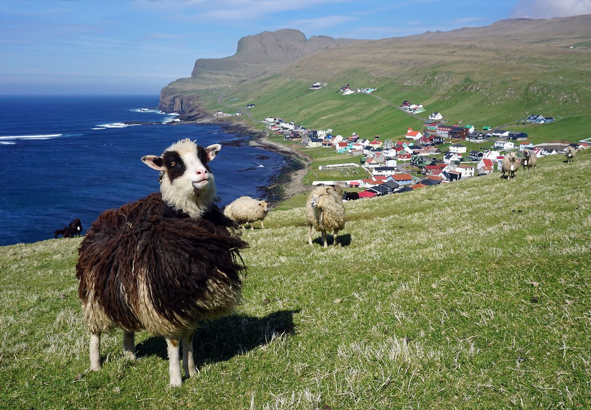
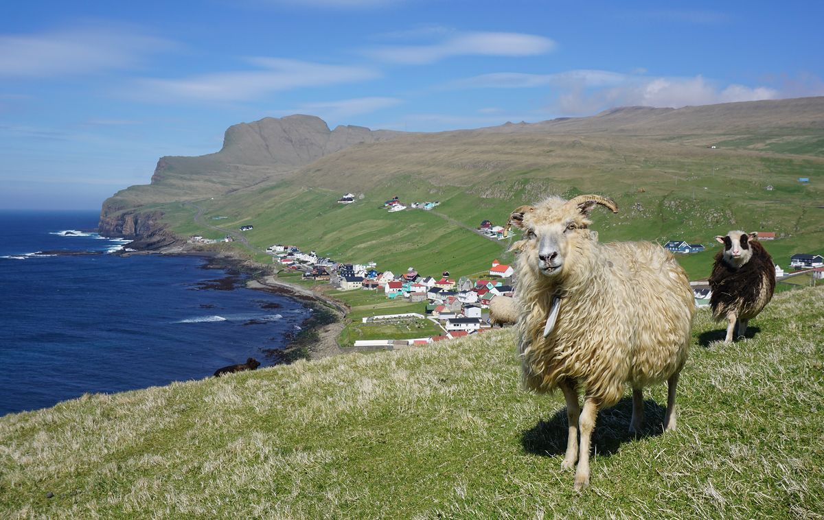
And there were sheep, of course, in every shade from cream to soot, grazing slopes I wouldn’t stand on. Above Sumba, the southernmost village, two of them came over to inspect our sandwiches and left unimpressed.
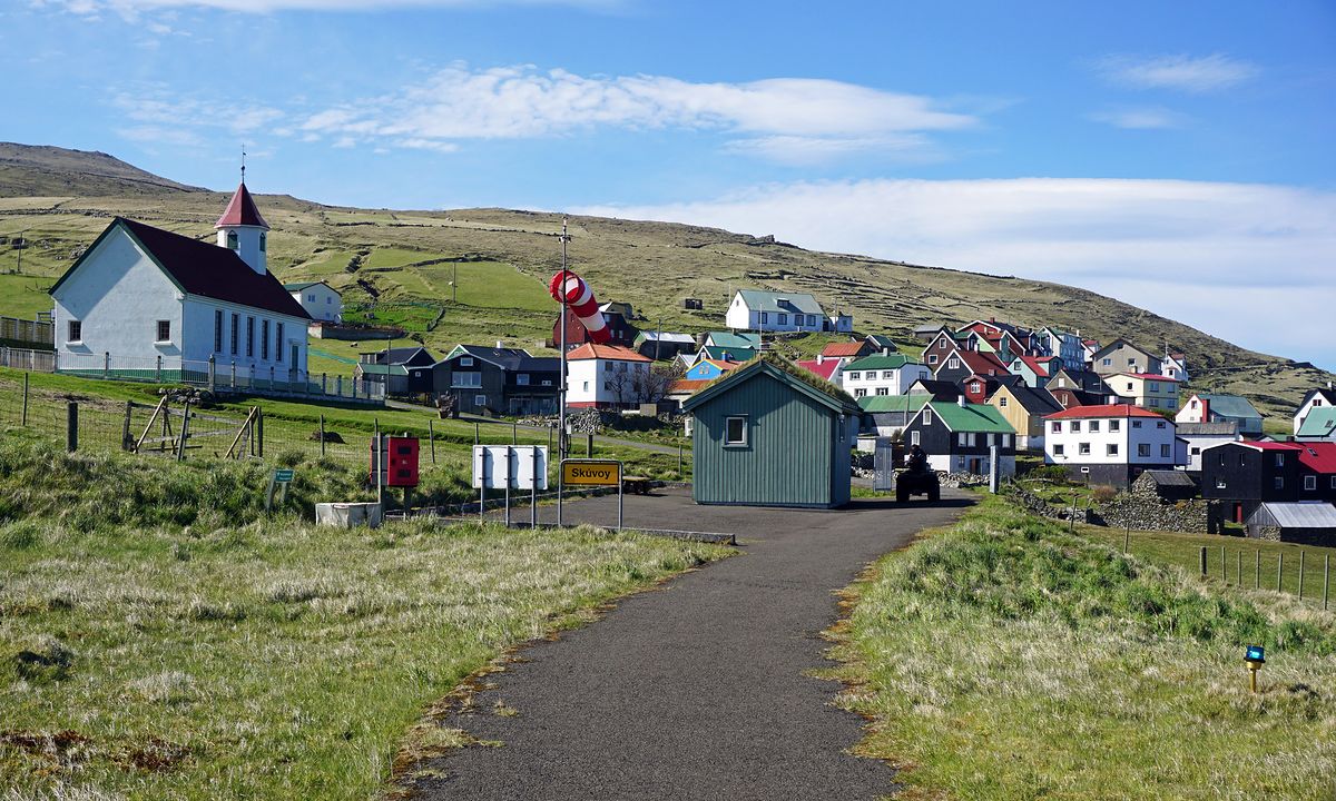
On our last full day we flew. The helicopter from Froðba exists for the people who live on the small islands, and it would be wrong to treat it as a joyride, but it does take visitors, and a few minutes after lifting off we were walking up the lane into Skúvoy with the rotor noise fading behind us. We came back the slow way, by boat to Sandoy and through yet another tunnel under the sea. Clara asked where the roundabout was.